Lord Napier House, #48 Observatory Street
Introduction
The photograph on this page of Lord Napier House, #48 Observatory Street by Roger Templeman as part of the Geograph project.
The Geograph project started in 2005 with the aim of publishing, organising and preserving representative images for every square kilometre of Great Britain, Ireland and the Isle of Man.

There are currently over 7.5m images from over 14,400 individuals and you can help contribute to the project by visiting https://www.geograph.org.uk
Lord Napier House, #48 Observatory Street
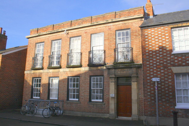
Image: © Roger Templeman Taken: 15 Dec 2014
Former pub now providing student accommodation for Green Templeton College. There is an OS benchmark Image on the left hand corner of the adjacent house (#50) on the right hand side of the image on the two brick courses above the concrete skirt.
Images are licensed for reuse under creativecommons.org/licenses/by-sa/2.0
Image Location
Latitude
51.761013
Longitude
-1.266077