Rossglass Bay near Killough
Introduction
The photograph on this page of Rossglass Bay near Killough by Albert Bridge as part of the Geograph project.
The Geograph project started in 2005 with the aim of publishing, organising and preserving representative images for every square kilometre of Great Britain, Ireland and the Isle of Man.

There are currently over 7.5m images from over 14,400 individuals and you can help contribute to the project by visiting https://www.geograph.org.uk
Rossglass Bay near Killough
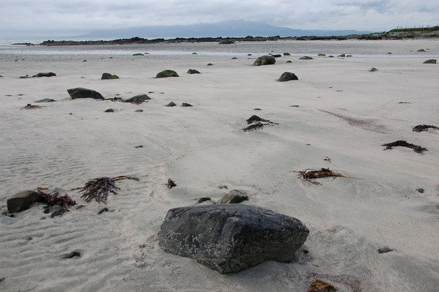
Image: © Albert Bridge Taken: 9 May 2007
Much of the shore between St John’s Point and Dundrum Bay is firm sand. The area is popular during the summer. This is Rossglass Bay just off the Killough – Clogh road. The Mournes are visible in the upper background.
Images are licensed for reuse under creativecommons.org/licenses/by-sa/2.0
Image Location
Latitude
54.245959
Longitude
-5.6766