Around Ashtead Woods Road
Introduction
The photograph on this page of Around Ashtead Woods Road by Thomas Grant as part of the Geograph project.
The Geograph project started in 2005 with the aim of publishing, organising and preserving representative images for every square kilometre of Great Britain, Ireland and the Isle of Man.

There are currently over 7.5m images from over 14,400 individuals and you can help contribute to the project by visiting https://www.geograph.org.uk
Around Ashtead Woods Road
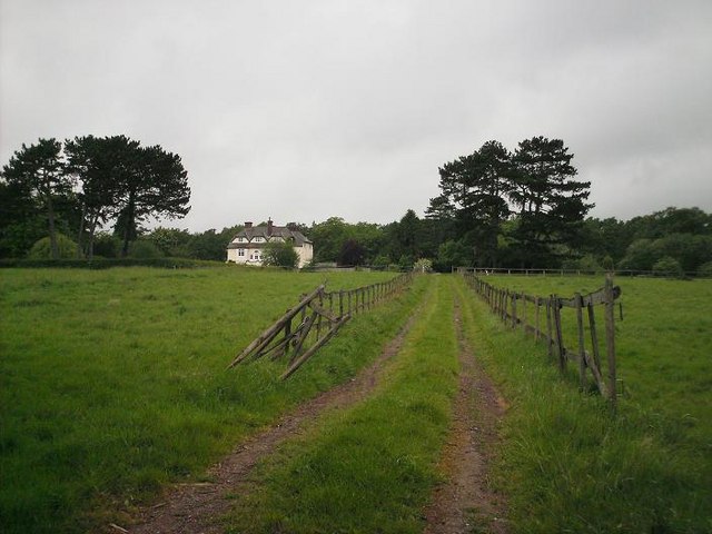
Image: © Thomas Grant Taken: 9 May 2007
Pasture land, now occupied primarily by horses, surrounds one of a number of large houses that were built along Ashtead Woods Road in the late C19th/early C20th. The bank of trees beyond reveals the edge of Ashtead Common. Considering the location - on the northern edge of Ashtead, less than half a mile from the M25 and the border with Greater London - the scene is remarkably rural in character.
Images are licensed for reuse under creativecommons.org/licenses/by-sa/2.0
Image Location


Leaflet Map data © OpenStreetMap
Latitude
51.320554
Longitude
-0.318954