Track to Castle Hill
Introduction
The photograph on this page of Track to Castle Hill by Lairich Rig as part of the Geograph project.
The Geograph project started in 2005 with the aim of publishing, organising and preserving representative images for every square kilometre of Great Britain, Ireland and the Isle of Man.

There are currently over 7.5m images from over 14,400 individuals and you can help contribute to the project by visiting https://www.geograph.org.uk
Track to Castle Hill
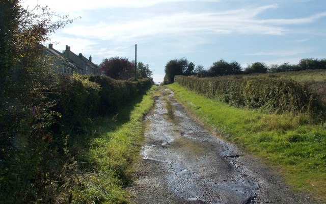
Image: © Lairich Rig Taken: 5 Oct 2007
The picture was taken from near the point where this track begins at Duntocher Road. For the hill itself, see Image; it is the site of a Roman fort on the Antonine Wall. The houses on the left are on Antonine Road.
Images are licensed for reuse under creativecommons.org/licenses/by-sa/2.0
Image Location
Latitude
55.925086
Longitude
-4.360111