London fringe
Introduction
The photograph on this page of London fringe by David Martin as part of the Geograph project.
The Geograph project started in 2005 with the aim of publishing, organising and preserving representative images for every square kilometre of Great Britain, Ireland and the Isle of Man.

There are currently over 7.5m images from over 14,400 individuals and you can help contribute to the project by visiting https://www.geograph.org.uk
London fringe
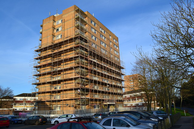
Image: © David Martin Taken: 14 Dec 2014
Flats undergoing maintenance work on the very edge of the Greater London built up area - there are fields on the other side of the road.
Images are licensed for reuse under creativecommons.org/licenses/by-sa/2.0
Image Location
Latitude
51.37497
Longitude
0.123437