New Ing Lodge, Shap
Introduction
The photograph on this page of New Ing Lodge, Shap by Trevor Littlewood as part of the Geograph project.
The Geograph project started in 2005 with the aim of publishing, organising and preserving representative images for every square kilometre of Great Britain, Ireland and the Isle of Man.

There are currently over 7.5m images from over 14,400 individuals and you can help contribute to the project by visiting https://www.geograph.org.uk
New Ing Lodge, Shap
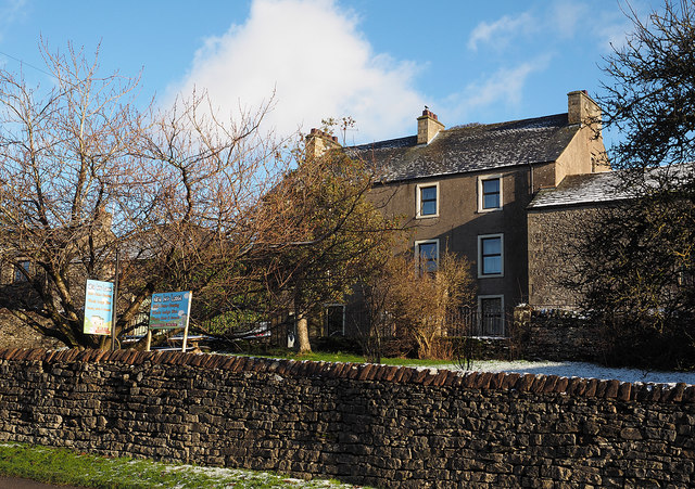
Image: © Trevor Littlewood Taken: 12 Dec 2014
New Ing Lodge was formerly the house at New Ing Farm. It has been converted to visitor accommodation offering bed and breakfast and bunkhouse places.
Images are licensed for reuse under creativecommons.org/licenses/by-sa/2.0
Image Location
Latitude
54.533501
Longitude
-2.677915