Site of Maybole's former community centre
Introduction
The photograph on this page of Site of Maybole's former community centre by Mary and Angus Hogg as part of the Geograph project.
The Geograph project started in 2005 with the aim of publishing, organising and preserving representative images for every square kilometre of Great Britain, Ireland and the Isle of Man.

There are currently over 7.5m images from over 14,400 individuals and you can help contribute to the project by visiting https://www.geograph.org.uk
Site of Maybole's former community centre
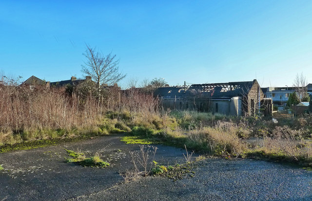
Image: © Mary and Angus Hogg Taken: 2 Dec 2014
The building on this site was constructed as a Poorshouse, accommodating 48 destitute persons in the late 19th century. After the 1st World War, it was used for local government offices and the Labour Exchange. Further changes led to the use of the ground floor as a Welfare Centre, where the baby clinics were held. A small private playgroup used the upstairs rooms. The building was demolished when it became unsafe. Outline planning consent has been granted for the development of a supermarket but, in early 2020, a housing complex was started. There are no Geographs of the old building.
Images are licensed for reuse under creativecommons.org/licenses/by-sa/2.0
Image Location
Latitude
55.352722
Longitude
-4.686888