Gas Pipeline Marker, Birkside Fell
Introduction
The photograph on this page of Gas Pipeline Marker, Birkside Fell by Tony Campbell as part of the Geograph project.
The Geograph project started in 2005 with the aim of publishing, organising and preserving representative images for every square kilometre of Great Britain, Ireland and the Isle of Man.

There are currently over 7.5m images from over 14,400 individuals and you can help contribute to the project by visiting https://www.geograph.org.uk
Gas Pipeline Marker, Birkside Fell
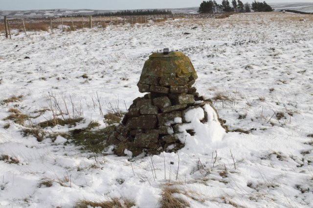
Image: © Tony Campbell Taken: 13 Dec 2014
A curious marker for major mains gas pipe. Internally it looks like a concrete bollard but has facing stones giving it a decorative appearance. The top is curiously flattened. Maybe it was also used as a surveying station?
Images are licensed for reuse under creativecommons.org/licenses/by-sa/2.0
Image Location
Latitude
54.854129
Longitude
-2.081586