Balcombe Mead (2)
Introduction
The photograph on this page of Balcombe Mead (2) by Simon Carey as part of the Geograph project.
The Geograph project started in 2005 with the aim of publishing, organising and preserving representative images for every square kilometre of Great Britain, Ireland and the Isle of Man.

There are currently over 7.5m images from over 14,400 individuals and you can help contribute to the project by visiting https://www.geograph.org.uk
Balcombe Mead (2)
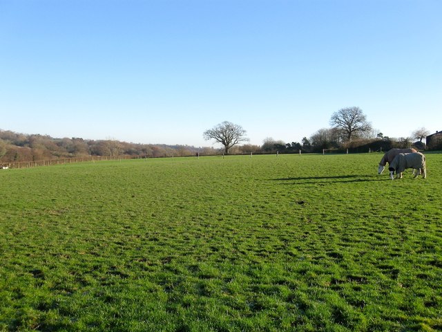
Image: © Simon Carey Taken: 6 Dec 2014
The name of the field according to Cuckfield's 1843 tithe map that has now been split into two sections, this one on the ridge to the north of Sidnye Farm and another beyond the fence to the left that lies on a slope that heads down to the River Ouse, see Image To the west beyond the footpath is Image
Images are licensed for reuse under creativecommons.org/licenses/by-sa/2.0
Image Location
Latitude
51.035675
Longitude
-0.152991