Formerly The Lamb, Staplehurst
Introduction
The photograph on this page of Formerly The Lamb, Staplehurst by Robin Webster as part of the Geograph project.
The Geograph project started in 2005 with the aim of publishing, organising and preserving representative images for every square kilometre of Great Britain, Ireland and the Isle of Man.

There are currently over 7.5m images from over 14,400 individuals and you can help contribute to the project by visiting https://www.geograph.org.uk
Formerly The Lamb, Staplehurst
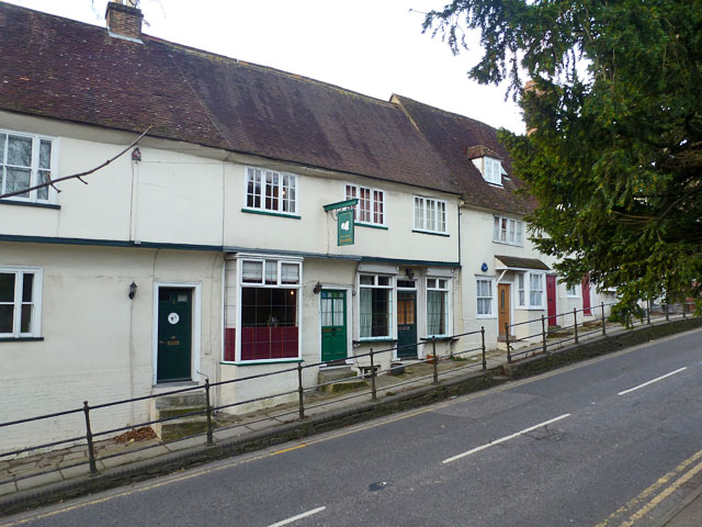
Image: © Robin Webster Taken: 11 Dec 2014
It looks as if it has been cottages for some long time.
Images are licensed for reuse under creativecommons.org/licenses/by-sa/2.0
Image Location


Leaflet Map data © OpenStreetMap
Latitude
51.157936
Longitude
0.552238