Wade House, Highbridge
Introduction
The photograph on this page of Wade House, Highbridge by Jaggery as part of the Geograph project.
The Geograph project started in 2005 with the aim of publishing, organising and preserving representative images for every square kilometre of Great Britain, Ireland and the Isle of Man.

There are currently over 7.5m images from over 14,400 individuals and you can help contribute to the project by visiting https://www.geograph.org.uk
Wade House, Highbridge
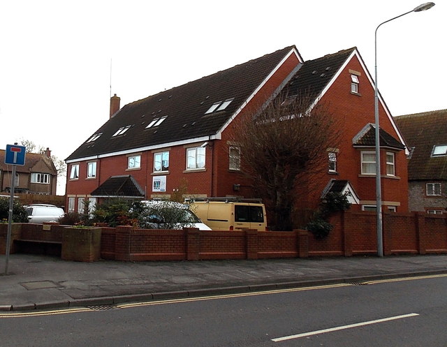
Image: © Jaggery Taken: 10 Dec 2014
Wade House, on the corner of Church Street and Grange Avenue, houses Highbridge YMCA. http://www.geograph.org.uk/photo/4274172 to a view from Grange Avenue.
Images are licensed for reuse under creativecommons.org/licenses/by-sa/2.0
Image Location
Latitude
51.221459
Longitude
-2.974944