Gospel Centre, Highbridge
Introduction
The photograph on this page of Gospel Centre, Highbridge by Jaggery as part of the Geograph project.
The Geograph project started in 2005 with the aim of publishing, organising and preserving representative images for every square kilometre of Great Britain, Ireland and the Isle of Man.

There are currently over 7.5m images from over 14,400 individuals and you can help contribute to the project by visiting https://www.geograph.org.uk
Gospel Centre, Highbridge
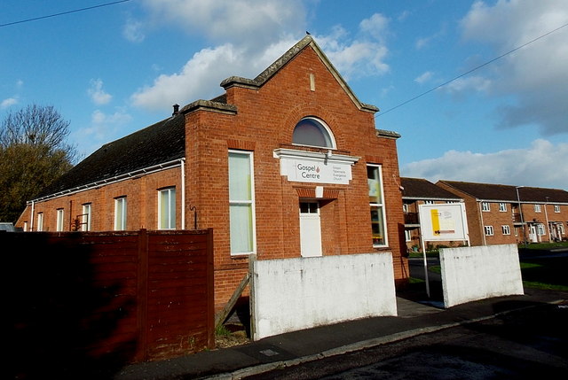
Image: © Jaggery Taken: 10 Dec 2014
Gospel Centre (Gospel Tabernacle Evangelical Church) is at the edge of Daunton Close, http://www.geograph.org.uk/photo/4274375 near Old Burnham Road.
Images are licensed for reuse under creativecommons.org/licenses/by-sa/2.0
Image Location
Latitude
51.225314
Longitude
-2.976314