By Pinhays Park
Introduction
The photograph on this page of By Pinhays Park by Derek Harper as part of the Geograph project.
The Geograph project started in 2005 with the aim of publishing, organising and preserving representative images for every square kilometre of Great Britain, Ireland and the Isle of Man.

There are currently over 7.5m images from over 14,400 individuals and you can help contribute to the project by visiting https://www.geograph.org.uk
By Pinhays Park
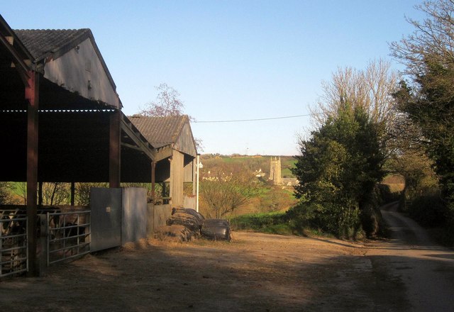
Image: © Derek Harper Taken: 5 Dec 2014
The farm buildings are beside the lane from South Milton Sands to the village of South Milton, whose church can be seen ahead.
Images are licensed for reuse under creativecommons.org/licenses/by-sa/2.0
Image Location
Latitude
50.26754
Longitude
-3.834138