Footpath to Manian Fawr
Introduction
The photograph on this page of Footpath to Manian Fawr by Philip Halling as part of the Geograph project.
The Geograph project started in 2005 with the aim of publishing, organising and preserving representative images for every square kilometre of Great Britain, Ireland and the Isle of Man.

There are currently over 7.5m images from over 14,400 individuals and you can help contribute to the project by visiting https://www.geograph.org.uk
Footpath to Manian Fawr
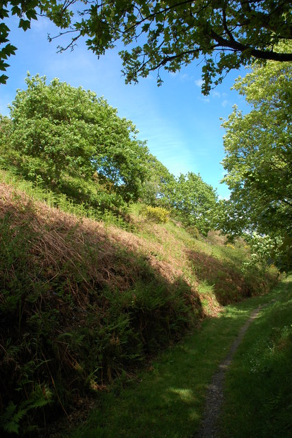
Image: © Philip Halling Taken: 7 May 2007
After passing Manian Fawr this footpath emerges onto the St Dogmael's to Poppit Sands road.
Images are licensed for reuse under creativecommons.org/licenses/by-sa/2.0
Image Location


Leaflet Map data © OpenStreetMap
Latitude
52.097916
Longitude
-4.700969