Site of Marconi after demolition.
Introduction
The photograph on this page of Site of Marconi after demolition. by Clive Cartwright as part of the Geograph project.
The Geograph project started in 2005 with the aim of publishing, organising and preserving representative images for every square kilometre of Great Britain, Ireland and the Isle of Man.

There are currently over 7.5m images from over 14,400 individuals and you can help contribute to the project by visiting https://www.geograph.org.uk
Site of Marconi after demolition.
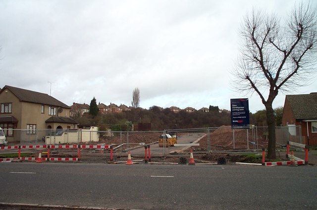
Image: © Clive Cartwright Taken: 3 Jun 1999
The old Marconi site prior to redevelopment. Photo taken 13th Feb 2002.
Images are licensed for reuse under creativecommons.org/licenses/by-sa/2.0
Image Location
Latitude
52.648044
Longitude
-1.148446