Signpost at Fairlight
Introduction
The photograph on this page of Signpost at Fairlight by Marathon as part of the Geograph project.
The Geograph project started in 2005 with the aim of publishing, organising and preserving representative images for every square kilometre of Great Britain, Ireland and the Isle of Man.

There are currently over 7.5m images from over 14,400 individuals and you can help contribute to the project by visiting https://www.geograph.org.uk
Signpost at Fairlight
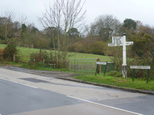
Image: © Marathon Taken: 7 Dec 2014
After leaving Pett Level along Pett Level Road, the road steadily rises and it appears that Waites Lane is the first opportunity to return to the coastline at the top of Fairlight Cliffs. It isn't and just leads to the sprawling development of Fairlight. This sign on Pett Level Road, just before it becomes Battery Hill, makes this clear but it is easily missed.
Images are licensed for reuse under creativecommons.org/licenses/by-sa/2.0
Image Location
Latitude
50.880727
Longitude
0.661458