South Street, Cuckfield
Introduction
The photograph on this page of South Street, Cuckfield by Simon Carey as part of the Geograph project.
The Geograph project started in 2005 with the aim of publishing, organising and preserving representative images for every square kilometre of Great Britain, Ireland and the Isle of Man.

There are currently over 7.5m images from over 14,400 individuals and you can help contribute to the project by visiting https://www.geograph.org.uk
South Street, Cuckfield
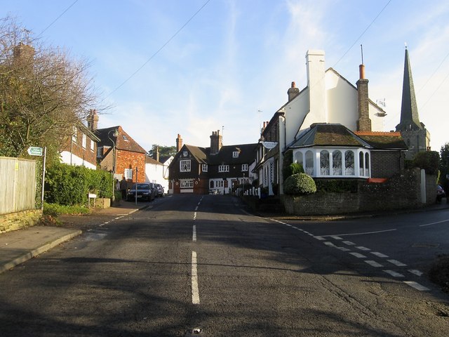
Image: © Simon Carey Taken: 29 Nov 2014
The view when entering the settlement from the south with the junction of Newbury Lane to the right. Chainwalk House lies on the corner whilst beyond at the first turning of the meandering street is the White Hart.
Images are licensed for reuse under creativecommons.org/licenses/by-sa/2.0
Image Location
Latitude
51.005056
Longitude
-0.144658