St Marys Grove houses, Swindon
Introduction
The photograph on this page of St Marys Grove houses, Swindon by Jaggery as part of the Geograph project.
The Geograph project started in 2005 with the aim of publishing, organising and preserving representative images for every square kilometre of Great Britain, Ireland and the Isle of Man.

There are currently over 7.5m images from over 14,400 individuals and you can help contribute to the project by visiting https://www.geograph.org.uk
St Marys Grove houses, Swindon
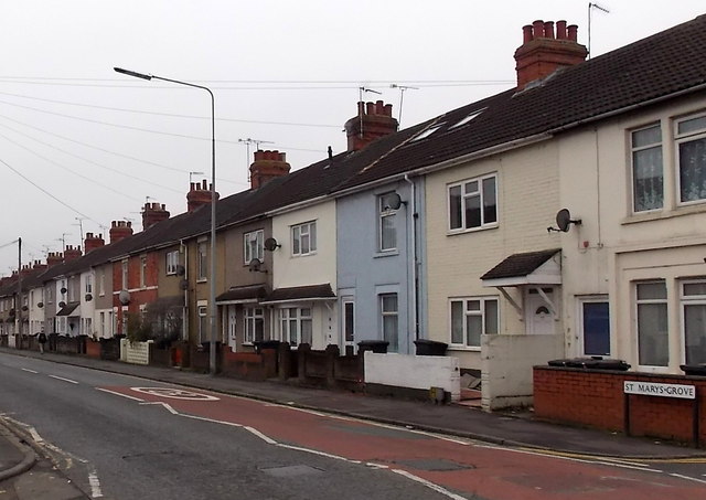
Image: © Jaggery Taken: 1 Dec 2014
Houses on the west side of the road, viewed from the southern end of Pinehurst Road. There is no apostrophe in the name sign on the right which shows ST MARYS GROVE.
Images are licensed for reuse under creativecommons.org/licenses/by-sa/2.0
Image Location
Latitude
51.572674
Longitude
-1.786256