The Grapes (closed), Pease Pottage
Introduction
The photograph on this page of The Grapes (closed), Pease Pottage by Robin Webster as part of the Geograph project.
The Geograph project started in 2005 with the aim of publishing, organising and preserving representative images for every square kilometre of Great Britain, Ireland and the Isle of Man.

There are currently over 7.5m images from over 14,400 individuals and you can help contribute to the project by visiting https://www.geograph.org.uk
The Grapes (closed), Pease Pottage
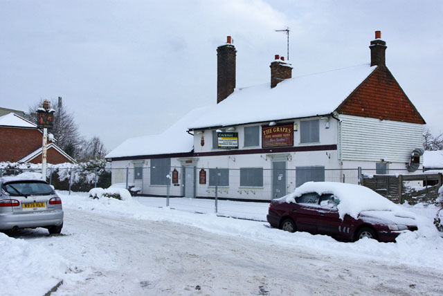
Image: © Robin Webster Taken: 9 Jan 2010
The agent's board describes it as 'Former pub / Development opportunity'. It was later demolished and replaced with houses.
Images are licensed for reuse under creativecommons.org/licenses/by-sa/2.0
Image Location
Latitude
51.08169
Longitude
-0.202986