Semis on the outskirts of Menston
Introduction
The photograph on this page of Semis on the outskirts of Menston by David Spencer as part of the Geograph project.
The Geograph project started in 2005 with the aim of publishing, organising and preserving representative images for every square kilometre of Great Britain, Ireland and the Isle of Man.

There are currently over 7.5m images from over 14,400 individuals and you can help contribute to the project by visiting https://www.geograph.org.uk
Semis on the outskirts of Menston
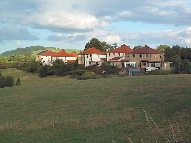
Image: © David Spencer Taken: 24 Aug 2005
With Otley Chevin in the background and looking over open country, these semis are in Bleach Mill Lane. Seen from the Ebor Way footpath.
Images are licensed for reuse under creativecommons.org/licenses/by-sa/2.0
Image Location


Leaflet Map data © OpenStreetMap
Latitude
53.892822
Longitude
-1.75194