West Banks, Sleaford, Lincs.
Introduction
The photograph on this page of West Banks, Sleaford, Lincs. by David Hallam-Jones as part of the Geograph project.
The Geograph project started in 2005 with the aim of publishing, organising and preserving representative images for every square kilometre of Great Britain, Ireland and the Isle of Man.

There are currently over 7.5m images from over 14,400 individuals and you can help contribute to the project by visiting https://www.geograph.org.uk
West Banks, Sleaford, Lincs.
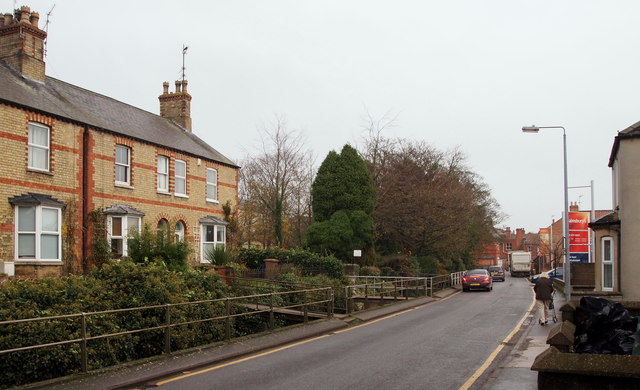
Image: © David Hallam-Jones Taken: 29 Nov 2014
Pedestrian bridges over River Slea to houses on the north side of West Banks (road name). Water Gate (road name) and the town centre lie ahead.
Images are licensed for reuse under creativecommons.org/licenses/by-sa/2.0
Image Location
Latitude
52.99857
Longitude
-0.413511