Dishforth Airfield
Introduction
The photograph on this page of Dishforth Airfield by Chris Heaton as part of the Geograph project.
The Geograph project started in 2005 with the aim of publishing, organising and preserving representative images for every square kilometre of Great Britain, Ireland and the Isle of Man.

There are currently over 7.5m images from over 14,400 individuals and you can help contribute to the project by visiting https://www.geograph.org.uk
Dishforth Airfield
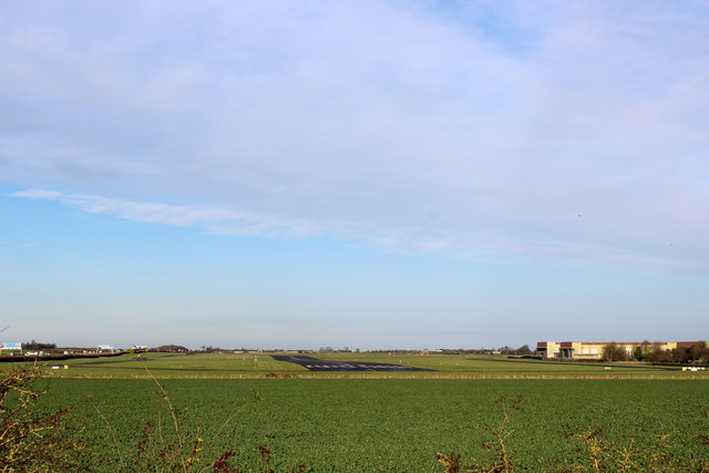
Image: © Chris Heaton Taken: 2 Dec 2014
The runway of Dishforth Airfield, used by the Army Air Corps as seen from Highfields Lane.
Images are licensed for reuse under creativecommons.org/licenses/by-sa/2.0
Image Location
Latitude
54.129912
Longitude
-1.413556