Adelaide Crescent, South Eastern Corner
Introduction
The photograph on this page of Adelaide Crescent, South Eastern Corner by Simon Carey as part of the Geograph project.
The Geograph project started in 2005 with the aim of publishing, organising and preserving representative images for every square kilometre of Great Britain, Ireland and the Isle of Man.

There are currently over 7.5m images from over 14,400 individuals and you can help contribute to the project by visiting https://www.geograph.org.uk
Adelaide Crescent, South Eastern Corner
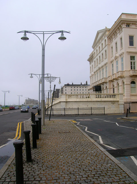
Image: © Simon Carey Taken: 7 May 2007
A small section of the crescent with a sea view. There is a matching one on the western side. Adelaide Crescent was the first area to be developed west of Brunswick Town, whose terraces begin directly right of the picture. The main road is Kingsway which is the A259.
Images are licensed for reuse under creativecommons.org/licenses/by-sa/2.0
Image Location


Leaflet Map data © OpenStreetMap
Latitude
50.824224
Longitude
-0.163194