Church of St Helen, Selston
Introduction
The photograph on this page of Church of St Helen, Selston by Alan Murray-Rust as part of the Geograph project.
The Geograph project started in 2005 with the aim of publishing, organising and preserving representative images for every square kilometre of Great Britain, Ireland and the Isle of Man.

There are currently over 7.5m images from over 14,400 individuals and you can help contribute to the project by visiting https://www.geograph.org.uk
Church of St Helen, Selston
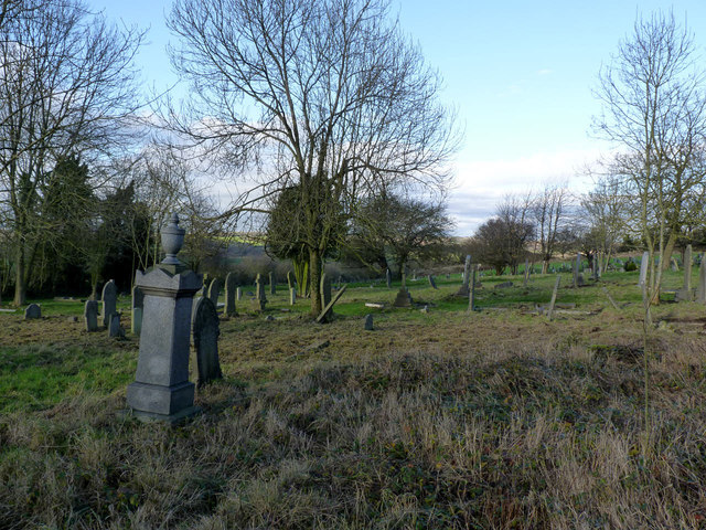
Image: © Alan Murray-Rust Taken: 30 Nov 2014
The graveyard to the west of the church. Lack of housing to the west and north of the medieval churchyard enabled continuous expansion during the 19th and 20th centuries without the need to create a new cemetery.
Images are licensed for reuse under creativecommons.org/licenses/by-sa/2.0
Image Location
Latitude
53.075157
Longitude
-1.31827