Stream, Dundonald (December 2014)
Introduction
The photograph on this page of Stream, Dundonald (December 2014) by Albert Bridge as part of the Geograph project.
The Geograph project started in 2005 with the aim of publishing, organising and preserving representative images for every square kilometre of Great Britain, Ireland and the Isle of Man.

There are currently over 7.5m images from over 14,400 individuals and you can help contribute to the project by visiting https://www.geograph.org.uk
Stream, Dundonald (December 2014)
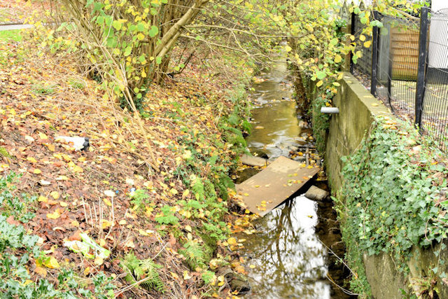
Image: © Albert Bridge Taken: 1 Dec 2014
See Image (October 2012). The same stream, further upstream, as it enters Moat Park, behind The Lewis Image (right), from a culvert under the Upper Newtownards Road and nearby housing.
Images are licensed for reuse under creativecommons.org/licenses/by-sa/2.0
Image Location
Latitude
54.594609
Longitude
-5.80673