"Road works" sign, Dundonald (December 2014)
Introduction
The photograph on this page of "Road works" sign, Dundonald (December 2014) by Albert Bridge as part of the Geograph project.
The Geograph project started in 2005 with the aim of publishing, organising and preserving representative images for every square kilometre of Great Britain, Ireland and the Isle of Man.

There are currently over 7.5m images from over 14,400 individuals and you can help contribute to the project by visiting https://www.geograph.org.uk
"Road works" sign, Dundonald (December 2014)
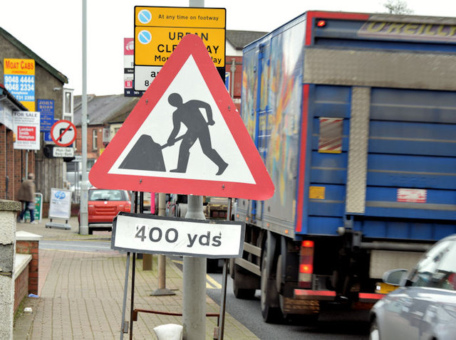
Image: © Albert Bridge Taken: 1 Dec 2014
A “road works” sign, on the Upper Newtownards Road, approaching the Ballyregan Road. It refers to the new traffic lights and associated works, at the Dunlady Road junction, in connection with the new EWAY park and ride car park (opened today).
Images are licensed for reuse under creativecommons.org/licenses/by-sa/2.0
Image Location
Latitude
54.594778
Longitude
-5.806102