Church of St Barnabas, Brookside, Carlisle
Introduction
The photograph on this page of Church of St Barnabas, Brookside, Carlisle by Graham Robson as part of the Geograph project.
The Geograph project started in 2005 with the aim of publishing, organising and preserving representative images for every square kilometre of Great Britain, Ireland and the Isle of Man.

There are currently over 7.5m images from over 14,400 individuals and you can help contribute to the project by visiting https://www.geograph.org.uk
Church of St Barnabas, Brookside, Carlisle
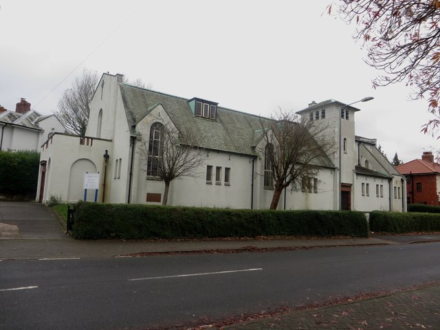
Image: © Graham Robson Taken: 30 Oct 2014
The Parish Church of St Barnabas, located on the junction of Brookside and Shady Grove Road in the Raffles area of Carlisle. The church dates from 1935 Image and is grade II listed ( http://list.english-heritage.org.uk/resultsingle.aspx?uid=1196988 ).
Images are licensed for reuse under creativecommons.org/licenses/by-sa/2.0
Image Location
Latitude
54.892995
Longitude
-2.966612