Houses on the north edge of Dan John Gardens, Canterbury
Introduction
The photograph on this page of Houses on the north edge of Dan John Gardens, Canterbury by pam fray as part of the Geograph project.
The Geograph project started in 2005 with the aim of publishing, organising and preserving representative images for every square kilometre of Great Britain, Ireland and the Isle of Man.

There are currently over 7.5m images from over 14,400 individuals and you can help contribute to the project by visiting https://www.geograph.org.uk
Houses on the north edge of Dan John Gardens, Canterbury
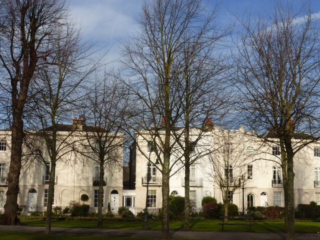
Image: © pam fray Taken: 29 Nov 2014
Viewed from the footpath in the gardens and through the lime tree avenue.
Images are licensed for reuse under creativecommons.org/licenses/by-sa/2.0
Image Location
Latitude
51.27554
Longitude
1.077129