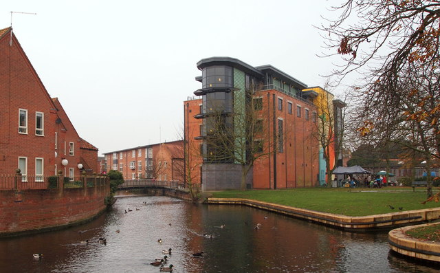
The Carre Street Vicinity, Sleaford, Lincs.
Introduction
The photograph on this page of The Carre Street Vicinity, Sleaford, Lincs. by David Hallam-Jones as part of the Geograph project.
The Geograph project started in 2005 with the aim of publishing, organising and preserving representative images for every square kilometre of Great Britain, Ireland and the Isle of Man.
There are currently over 7.5m images from over 14,400 individuals and you can help contribute to the project by visiting https://www.geograph.org.uk

Image: © David Hallam-Jones Taken: 29 Nov 2014
On the left of the Sleaford Navigation (canal) some of the Berkeley Court apartment blocks can be seen. These were built in 1980 on the former Lee & Green mineral water factory site (1880-1940s). On the right is The Hub, the National Centre for Craft & Design, housed in a former seed warehouse. The original seed business was founded in 1880 by James Hubbard and the company eventually became the largest supplier of marrowfat peas in the country. The present building dates from 1938 but in 2004 it was converted into an ultra-modern art and craft gallery with 1,000 square metres of exhibition space, craft workshops, a shop and café. The rooftop gallery and veranda provide some excellent views. "The Navigation" continues ahead through the town centre up as far as Castle Causeway.

