Welwyn Garden City: Cycleway to Panshanger
Introduction
The photograph on this page of Welwyn Garden City: Cycleway to Panshanger by Nigel Cox as part of the Geograph project.
The Geograph project started in 2005 with the aim of publishing, organising and preserving representative images for every square kilometre of Great Britain, Ireland and the Isle of Man.

There are currently over 7.5m images from over 14,400 individuals and you can help contribute to the project by visiting https://www.geograph.org.uk
Welwyn Garden City: Cycleway to Panshanger
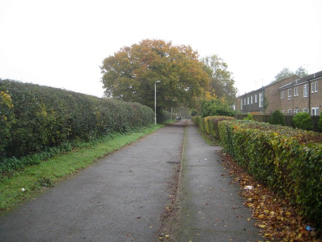
Image: © Nigel Cox Taken: 15 Nov 2014
This cycleway links Panshanger Drive and Moors Walk and probably follows an old field boundary. The playing fields of the Sir Frederic Osborn School are to the left, the houses in Grove Meadow to the right.
Images are licensed for reuse under creativecommons.org/licenses/by-sa/2.0
Image Location
Latitude
51.799756
Longitude
-0.174579