Great Beech Field/Little Beech Field
Introduction
The photograph on this page of Great Beech Field/Little Beech Field by Simon Carey as part of the Geograph project.
The Geograph project started in 2005 with the aim of publishing, organising and preserving representative images for every square kilometre of Great Britain, Ireland and the Isle of Man.

There are currently over 7.5m images from over 14,400 individuals and you can help contribute to the project by visiting https://www.geograph.org.uk
Great Beech Field/Little Beech Field
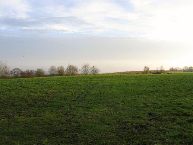
Image: © Simon Carey Taken: 29 Nov 2014
The name of the fields according to Cuckfield's 1843 tithe map that have been merged to form a larger unit. Great Beech Field was located to the west adjacent to Cleaver's Lane with Little Beech Field to the east next to Sparks Farm. To the south is Staplefield Road, the B2115.
Images are licensed for reuse under creativecommons.org/licenses/by-sa/2.0
Image Location
Latitude
51.018118
Longitude
-0.157396