Quest Hills Road, Malvern
Introduction
The photograph on this page of Quest Hills Road, Malvern by Jaggery as part of the Geograph project.
The Geograph project started in 2005 with the aim of publishing, organising and preserving representative images for every square kilometre of Great Britain, Ireland and the Isle of Man.

There are currently over 7.5m images from over 14,400 individuals and you can help contribute to the project by visiting https://www.geograph.org.uk
Quest Hills Road, Malvern
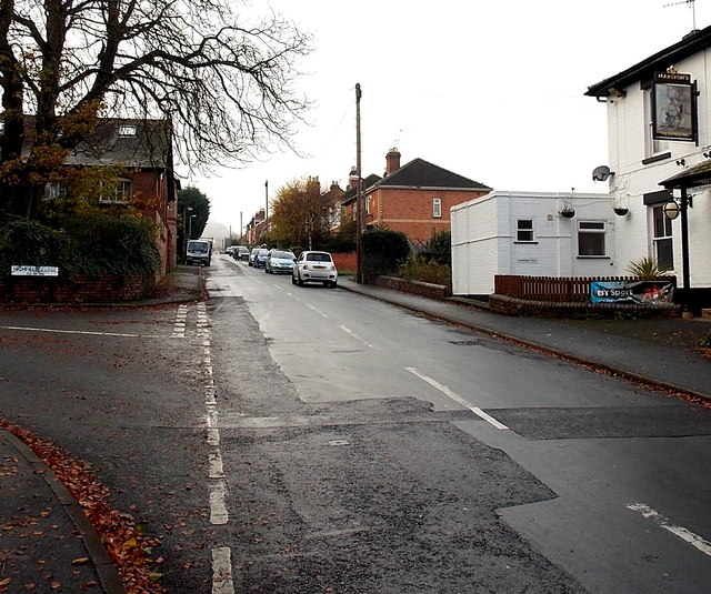
Image: © Jaggery Taken: 29 Nov 2014
Quest Hills Road ascends from the Howsell Road junction past Highfield Close http://www.geograph.org.uk/photo/4261862 on the left and the Express Inn http://www.geograph.org.uk/photo/4261858 on the right.
Images are licensed for reuse under creativecommons.org/licenses/by-sa/2.0
Image Location
Latitude
52.126986
Longitude
-2.32278