Looking NNW along Clarendon Road, Wallington
Introduction
The photograph on this page of Looking NNW along Clarendon Road, Wallington by John Baker as part of the Geograph project.
The Geograph project started in 2005 with the aim of publishing, organising and preserving representative images for every square kilometre of Great Britain, Ireland and the Isle of Man.

There are currently over 7.5m images from over 14,400 individuals and you can help contribute to the project by visiting https://www.geograph.org.uk
Looking NNW along Clarendon Road, Wallington
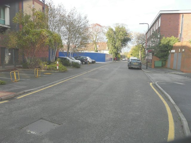
Image: © John Baker Taken: 18 Nov 2014
Foundation House stands on the right, while the blue hoarding further up the road hides a site described in Sutton Council’s planning application D2013/67339 as the “demolition of numbers 3-21 Wallington Square and 26 Clarendon Road; erection of a phased development of two A1 retail units A1/A3 units, erection of eighteen 1-bedroomed, six 2-bedroomed and six 3-bedroomed self-contained flats in two 3 storey blocks above the redevelopment units, provision of 20 parking spaces with the reorganised service road to include loading bays. 36 cycle parking spaces and refuse storage and provision of canopy structure to cover existing shopping mall”.
Images are licensed for reuse under creativecommons.org/licenses/by-sa/2.0
Image Location
Latitude
51.359068
Longitude
-0.147769