Chisbury Lane
Introduction
The photograph on this page of Chisbury Lane by Derek Harper as part of the Geograph project.
The Geograph project started in 2005 with the aim of publishing, organising and preserving representative images for every square kilometre of Great Britain, Ireland and the Isle of Man.

There are currently over 7.5m images from over 14,400 individuals and you can help contribute to the project by visiting https://www.geograph.org.uk
Chisbury Lane
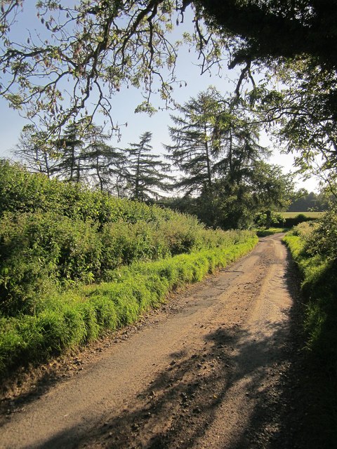
Image: © Derek Harper Taken: 21 Jun 2014
Looking in the other direction along the lane from the spot where Image] was taken, past a line of conifers to the junction near Buckwood. The lane here is followed by the parish boundary between Great (left) and Little Bedwyn.
Images are licensed for reuse under creativecommons.org/licenses/by-sa/2.0
Image Location
Latitude
51.393063
Longitude
-1.623246