Looking NNE along Sandy Lane South, Wallington
Introduction
The photograph on this page of Looking NNE along Sandy Lane South, Wallington by John Baker as part of the Geograph project.
The Geograph project started in 2005 with the aim of publishing, organising and preserving representative images for every square kilometre of Great Britain, Ireland and the Isle of Man.

There are currently over 7.5m images from over 14,400 individuals and you can help contribute to the project by visiting https://www.geograph.org.uk
Looking NNE along Sandy Lane South, Wallington
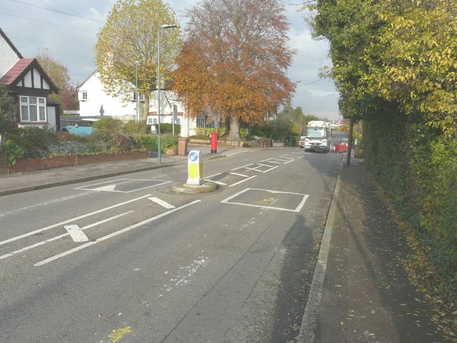
Image: © John Baker Taken: 18 Nov 2014
This view shows the size and height of the beech tree in the front garden of Image Opposite the house, a council refuse lorry was driving slowly along the road, so that wheelie bins, left outside houses, could be brought to it to be emptied.
Images are licensed for reuse under creativecommons.org/licenses/by-sa/2.0
Image Location
Latitude
51.354731
Longitude
-0.140763