Lower Lane east of Berry Hill Pike
Introduction
The photograph on this page of Lower Lane east of Berry Hill Pike by Jaggery as part of the Geograph project.
The Geograph project started in 2005 with the aim of publishing, organising and preserving representative images for every square kilometre of Great Britain, Ireland and the Isle of Man.

There are currently over 7.5m images from over 14,400 individuals and you can help contribute to the project by visiting https://www.geograph.org.uk
Lower Lane east of Berry Hill Pike
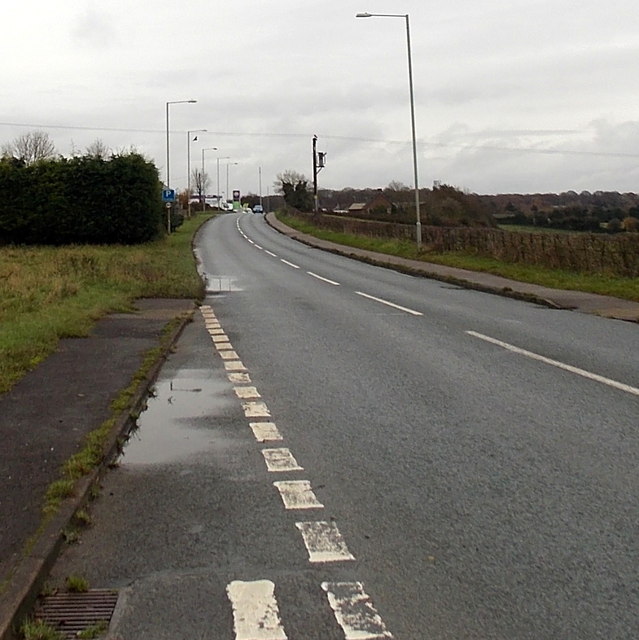
Image: © Jaggery Taken: 23 Nov 2014
Looking ENE along the A4136 Lower Lane towards Five Acres.
Images are licensed for reuse under creativecommons.org/licenses/by-sa/2.0
Image Location
Latitude
51.804916
Longitude
-2.619385