Booze.
Introduction
The photograph on this page of Booze. by Steve Partridge as part of the Geograph project.
The Geograph project started in 2005 with the aim of publishing, organising and preserving representative images for every square kilometre of Great Britain, Ireland and the Isle of Man.

There are currently over 7.5m images from over 14,400 individuals and you can help contribute to the project by visiting https://www.geograph.org.uk
Booze.
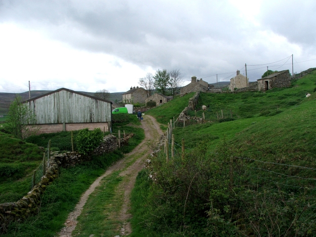
Image: © Steve Partridge Taken: 7 May 2007
Booze (Norse for 'the house on the curved hillside') is now just a cluster of farm buildings, but was once a thriving mining community with more than 40 houses.
Images are licensed for reuse under creativecommons.org/licenses/by-sa/2.0
Image Location
Latitude
54.417042
Longitude
-1.978393