Hurford Crescent, Pontypridd
Introduction
The photograph on this page of Hurford Crescent, Pontypridd by Jaggery as part of the Geograph project.
The Geograph project started in 2005 with the aim of publishing, organising and preserving representative images for every square kilometre of Great Britain, Ireland and the Isle of Man.

There are currently over 7.5m images from over 14,400 individuals and you can help contribute to the project by visiting https://www.geograph.org.uk
Hurford Crescent, Pontypridd
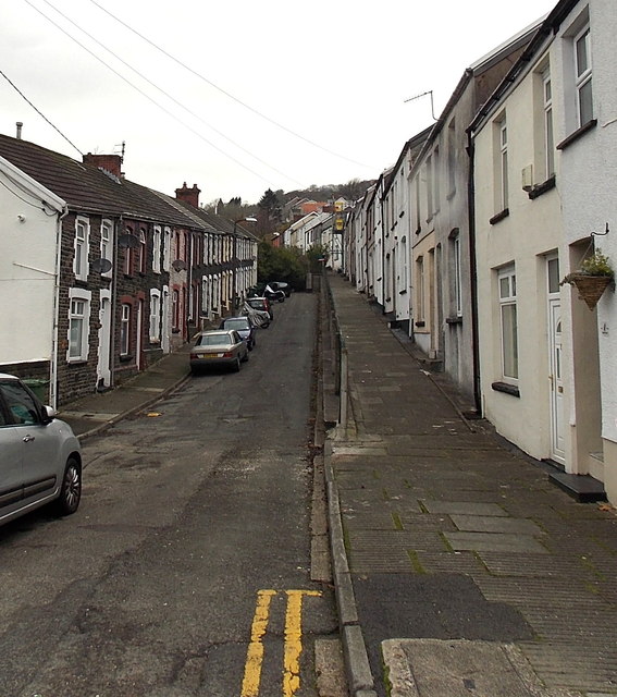
Image: © Jaggery Taken: 25 Nov 2014
This long straight street doesn't look like a crescent, but this is not all of Hurford Crescent. A couple of metres behind the camera, the roadway bends through 90 degrees, towards the Graigwen Road junction.
Images are licensed for reuse under creativecommons.org/licenses/by-sa/2.0
Image Location
Latitude
51.60416
Longitude
-3.347003