Millennium monument, Kaber
Introduction
The photograph on this page of Millennium monument, Kaber by Karl and Ali as part of the Geograph project.
The Geograph project started in 2005 with the aim of publishing, organising and preserving representative images for every square kilometre of Great Britain, Ireland and the Isle of Man.

There are currently over 7.5m images from over 14,400 individuals and you can help contribute to the project by visiting https://www.geograph.org.uk
Millennium monument, Kaber
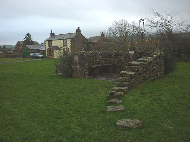
Image: © Karl and Ali Taken: 22 Nov 2014
A small stone fold/shelter with benches on the village green. There are two metal plaques which appear to list all the inhabitants of Kaber parish in the year 2000 Image] Image]
Images are licensed for reuse under creativecommons.org/licenses/by-sa/2.0
Image Location
Latitude
54.498775
Longitude
-2.314642