Staplegrove Road flush bracket
Introduction
The photograph on this page of Staplegrove Road flush bracket by Neil Owen as part of the Geograph project.
The Geograph project started in 2005 with the aim of publishing, organising and preserving representative images for every square kilometre of Great Britain, Ireland and the Isle of Man.

There are currently over 7.5m images from over 14,400 individuals and you can help contribute to the project by visiting https://www.geograph.org.uk
Staplegrove Road flush bracket
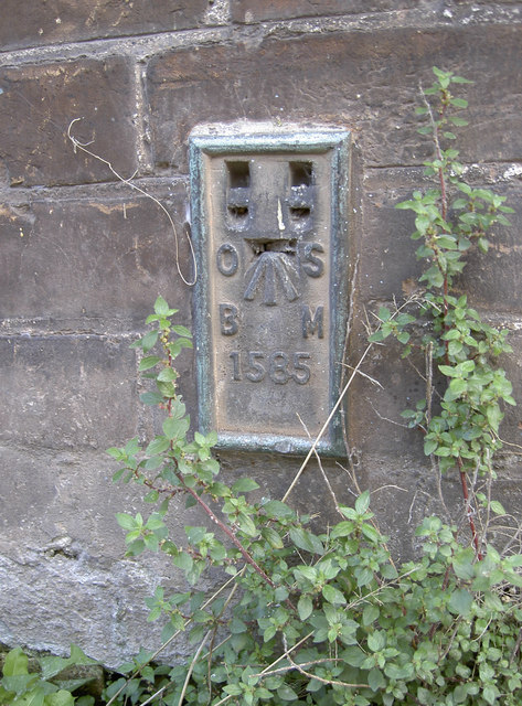
Image: © Neil Owen Taken: 30 Oct 2014
Located on the side wall of a house close to the Kings Arms. See http://www.bench-marks.org.uk/bm10531 for the entry in the Benchmark Database: and Image] for a wider view.
Images are licensed for reuse under creativecommons.org/licenses/by-sa/2.0
Image Location
Latitude
51.019845
Longitude
-3.106865