Middlebank pasture
Introduction
The photograph on this page of Middlebank pasture by Richard Webb as part of the Geograph project.
The Geograph project started in 2005 with the aim of publishing, organising and preserving representative images for every square kilometre of Great Britain, Ireland and the Isle of Man.

There are currently over 7.5m images from over 14,400 individuals and you can help contribute to the project by visiting https://www.geograph.org.uk
Middlebank pasture
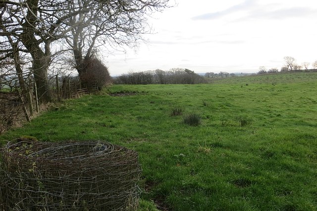
Image: © Richard Webb Taken: 15 Nov 2014
Better looking grass than some fields around DM Beith. There is roll of old fencing wire in the foreground.
Images are licensed for reuse under creativecommons.org/licenses/by-sa/2.0
Image Location
Latitude
55.71198
Longitude
-4.651008