Nottingham Canal, Awsworth
Introduction
The photograph on this page of Nottingham Canal, Awsworth by Stephen McKay as part of the Geograph project.
The Geograph project started in 2005 with the aim of publishing, organising and preserving representative images for every square kilometre of Great Britain, Ireland and the Isle of Man.

There are currently over 7.5m images from over 14,400 individuals and you can help contribute to the project by visiting https://www.geograph.org.uk
Nottingham Canal, Awsworth
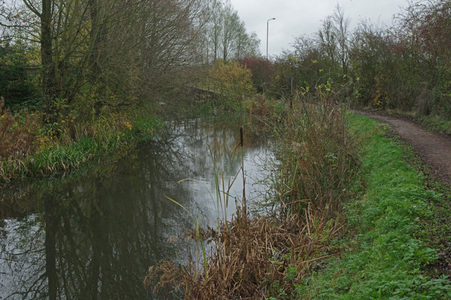
Image: © Stephen McKay Taken: 16 Nov 2014
This stretch of the canal, just south of Bridge Farm, has water but it is very many years since it has been navigable. It used to be known as the 'Top Cut' in this area to distinguish it from the Erewash Canal or 'Bottom Cut'.
Images are licensed for reuse under creativecommons.org/licenses/by-sa/2.0
Image Location
Latitude
52.985834
Longitude
-1.292715