The outer edge of Wilsford
Introduction
The photograph on this page of The outer edge of Wilsford by Alan Murray-Rust as part of the Geograph project.
The Geograph project started in 2005 with the aim of publishing, organising and preserving representative images for every square kilometre of Great Britain, Ireland and the Isle of Man.

There are currently over 7.5m images from over 14,400 individuals and you can help contribute to the project by visiting https://www.geograph.org.uk
The outer edge of Wilsford
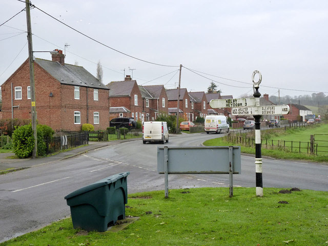
Image: © Alan Murray-Rust Taken: 19 Nov 2014
The road to the left leads into the village; the main A153 passes to the north of the village on what used to be the village back lane.
Images are licensed for reuse under creativecommons.org/licenses/by-sa/2.0
Image Location
Latitude
52.978084
Longitude
-0.511671