The Malthouse
Introduction
The photograph on this page of The Malthouse by Michael Dibb as part of the Geograph project.
The Geograph project started in 2005 with the aim of publishing, organising and preserving representative images for every square kilometre of Great Britain, Ireland and the Isle of Man.

There are currently over 7.5m images from over 14,400 individuals and you can help contribute to the project by visiting https://www.geograph.org.uk
The Malthouse
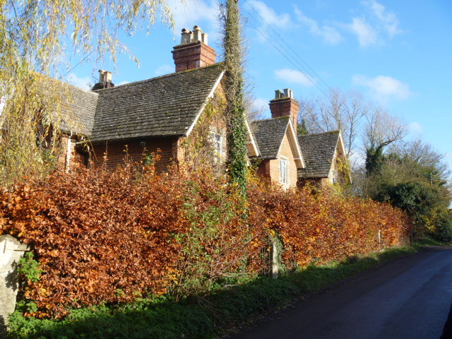
Image: © Michael Dibb Taken: 19 Nov 2014
Built in 1860 as a row of three estate cottages, this is now one house. Listed, grade II, details are at http://list.english-heritage.org.uk/resultsingle.aspx?uid=1272945
Images are licensed for reuse under creativecommons.org/licenses/by-sa/2.0
Image Location
Latitude
51.36822
Longitude
-1.98142