Bryngaer Hardings Down Hillfort
Introduction
The photograph on this page of Bryngaer Hardings Down Hillfort by Alan Richards as part of the Geograph project.
The Geograph project started in 2005 with the aim of publishing, organising and preserving representative images for every square kilometre of Great Britain, Ireland and the Isle of Man.

There are currently over 7.5m images from over 14,400 individuals and you can help contribute to the project by visiting https://www.geograph.org.uk
Bryngaer Hardings Down Hillfort
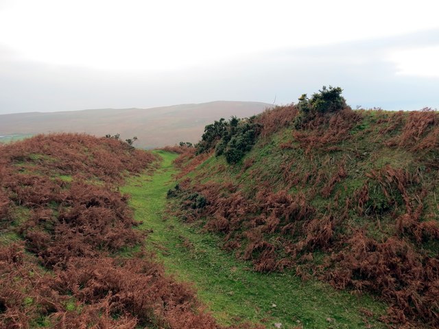
Image: © Alan Richards Taken: 20 Nov 2014
Clawdd enfawr ar un o fryngaerau Hardings Down. A massive rampart on one of the hillforts on Hardings Down.
Images are licensed for reuse under creativecommons.org/licenses/by-sa/2.0
Image Location
Latitude
51.593609
Longitude
-4.261301