Lions Hall, Winchester
Introduction
The photograph on this page of Lions Hall, Winchester by Jaggery as part of the Geograph project.
The Geograph project started in 2005 with the aim of publishing, organising and preserving representative images for every square kilometre of Great Britain, Ireland and the Isle of Man.

There are currently over 7.5m images from over 14,400 individuals and you can help contribute to the project by visiting https://www.geograph.org.uk
Lions Hall, Winchester
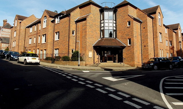
Image: © Jaggery Taken: 28 Sep 2014
This is the St Swithun Street and St Thomas Street corner of retirement/sheltered housing built in 1987.
Images are licensed for reuse under creativecommons.org/licenses/by-sa/2.0
Image Location


Leaflet Map data © OpenStreetMap
Latitude
51.060146
Longitude
-1.317449