Barff Road
Introduction
The photograph on this page of Barff Road by Richard Croft as part of the Geograph project.
The Geograph project started in 2005 with the aim of publishing, organising and preserving representative images for every square kilometre of Great Britain, Ireland and the Isle of Man.

There are currently over 7.5m images from over 14,400 individuals and you can help contribute to the project by visiting https://www.geograph.org.uk
Barff Road
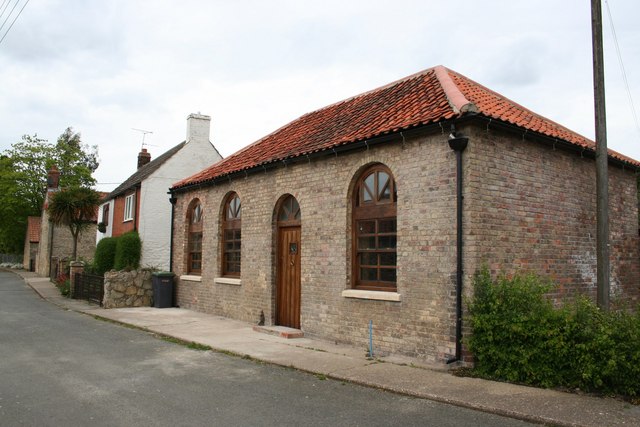
Image: © Richard Croft Taken: 6 May 2007
What looks like a former chapel on Barff Road, undergoing conversion to a private house.
Images are licensed for reuse under creativecommons.org/licenses/by-sa/2.0
Image Location
Latitude
53.18193
Longitude
-0.417528