B8006 road to Caol
Introduction
The photograph on this page of B8006 road to Caol by Jim Barton as part of the Geograph project.
The Geograph project started in 2005 with the aim of publishing, organising and preserving representative images for every square kilometre of Great Britain, Ireland and the Isle of Man.

There are currently over 7.5m images from over 14,400 individuals and you can help contribute to the project by visiting https://www.geograph.org.uk
B8006 road to Caol
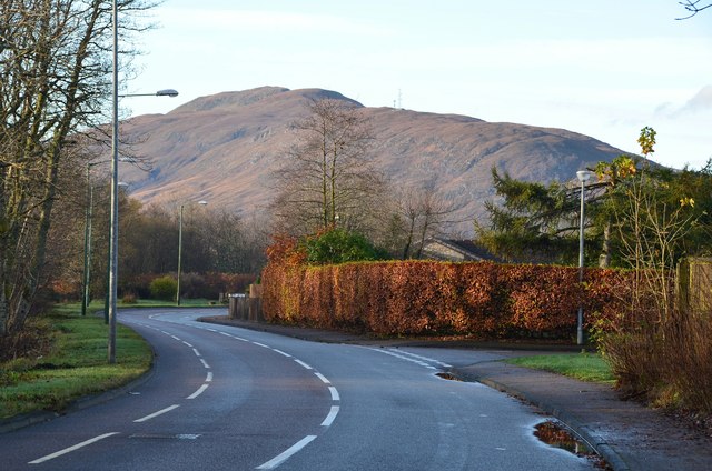
Image: © Jim Barton Taken: 15 Nov 2014
The road follows the N bank of the River Lochy. In the background is the ridge of Meall an t-Slamain across Loch Linnhe.
Images are licensed for reuse under creativecommons.org/licenses/by-sa/2.0
Image Location
Latitude
56.835124
Longitude
-5.095569