Approaching Baldersby St. James
Introduction
The photograph on this page of Approaching Baldersby St. James by Chris Heaton as part of the Geograph project.
The Geograph project started in 2005 with the aim of publishing, organising and preserving representative images for every square kilometre of Great Britain, Ireland and the Isle of Man.

There are currently over 7.5m images from over 14,400 individuals and you can help contribute to the project by visiting https://www.geograph.org.uk
Approaching Baldersby St. James
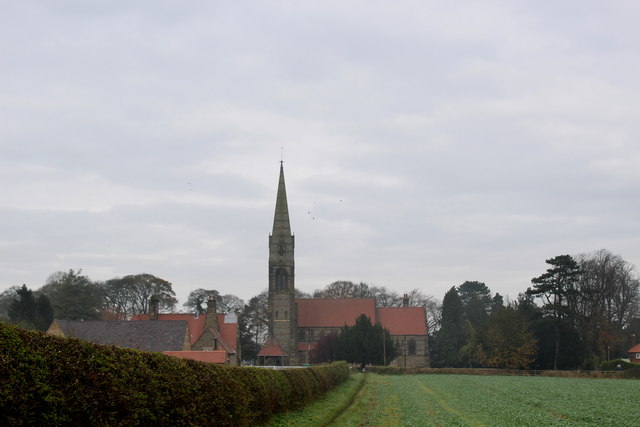
Image: © Chris Heaton Taken: 16 Nov 2014
Following the field boundary on a public footpath towards the village - dominated by the church dedicated to St. James the Great. It has an unusual pencil thin tower surmounted by an even thinner spire - a feature that can be seen from miles around.
Images are licensed for reuse under creativecommons.org/licenses/by-sa/2.0
Image Location
Latitude
54.186932
Longitude
-1.440486