Rochdale from the air
Introduction
The photograph on this page of Rochdale from the air by Thomas Nugent as part of the Geograph project.
The Geograph project started in 2005 with the aim of publishing, organising and preserving representative images for every square kilometre of Great Britain, Ireland and the Isle of Man.

There are currently over 7.5m images from over 14,400 individuals and you can help contribute to the project by visiting https://www.geograph.org.uk
Rochdale from the air
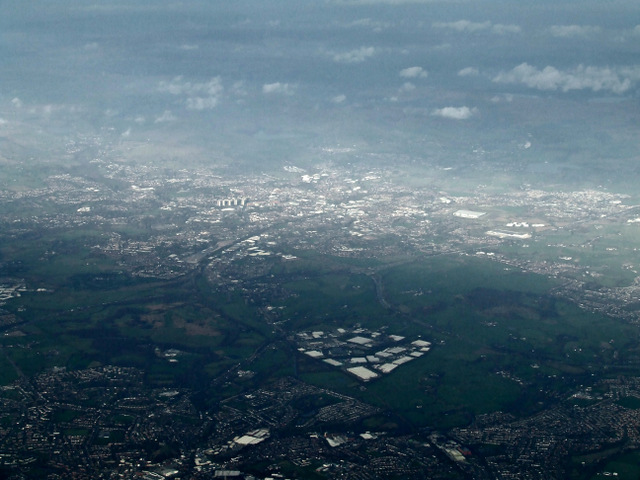
Image: © Thomas Nugent Taken: 10 Nov 2014
Rochdale is bathed in sun due to a break in the clouds. The distinctive shape in the foreground is Stakehill Industrial Estate.
Images are licensed for reuse under creativecommons.org/licenses/by-sa/2.0
Image Location
Latitude
53.563986
Longitude
-2.175097